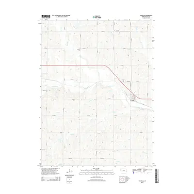
2014 Map of Unadilla
USGS Topo · Published 2014About this map
The village of Unadilla serves as the focal point of this Otoe County landscape, situated where the high plains meet the winding valley of the Little Nemaha River. The area is defined by a dense network of drainage systems, including Hooper Cr, Henry Cr, and Russell Cr, which carve through the terrain and dictate the layout of the local section-line roads. This survey illustrates the traditional rural settlement pattern of the region, where family history is anchored by sites like Thompson Cem and Palmyra Cem located on higher ground away from the floodplains.
Find a feature on this map
37 named features on this map. Tap any name to fly to it.
Don’t see what you’re looking for? This feature index may not catch every label — zoom into the map to look around manually.
Map Details
Editions of this 2014 Unadilla Map
This is the sole edition of this map. No revisions or reprints were ever made.
Other maps of this area

1903 · Weeping Water
USGS Topo · 1:125,000

1929 · Weeping Water
USGS Topo · 1:125,000

1955 · Lincoln
USGS Topo · 1:250,000

1957 · Lincoln
USGS Topo · 1:250,000

1958 · Lincoln
USGS Topo · 1:250,000
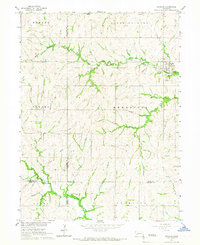
1965 · Douglas
USGS Topo · 1:24,000
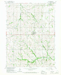
1966 · Eagle
USGS Topo · 1:24,000
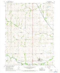
1966 · Cook
USGS Topo · 1:24,000
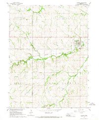
1966 · Palmyra
USGS Topo · 1:24,000
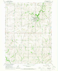
1966 · Elmwood
USGS Topo · 1:24,000