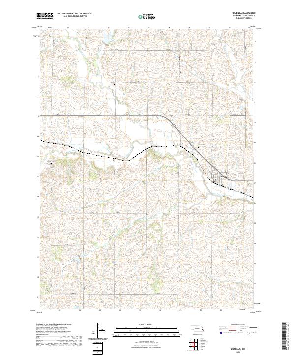
2021 Map of Unadilla
USGS Topo · Published 2021About this map
The Little Nemaha River carves through the undulating agricultural landscape of northwestern Otoe County, anchoring the small community of Unadilla. This modern topographic study reveals a deeply dissected terrain where numerous tributaries, including Hooper Cr, Henry Cr, and Owl Cr, drain toward the river basin. The grid of country roads, labeled with systematic names like Co RD 18 and I RD, defines the rural movement patterns and land divisions of the region.
Find a feature on this map
44 named features on this map. Tap any name to fly to it.
Don’t see what you’re looking for? This feature index may not catch every label — zoom into the map to look around manually.
Map Details
Editions of this 2021 Unadilla Map
This is the sole edition of this map. No revisions or reprints were ever made.
Other maps of this area

1903 · Weeping Water
USGS Topo · 1:125,000

1929 · Weeping Water
USGS Topo · 1:125,000

1955 · Lincoln
USGS Topo · 1:250,000

1957 · Lincoln
USGS Topo · 1:250,000

1958 · Lincoln
USGS Topo · 1:250,000
1965 · Douglas
USGS Topo · 1:24,000
1966 · Eagle
USGS Topo · 1:24,000
1966 · Cook
USGS Topo · 1:24,000
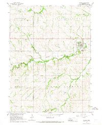
1966 · Palmyra
USGS Topo · 1:24,000
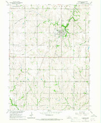
1966 · Elmwood
USGS Topo · 1:24,000