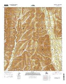
2015 Map of Unalakleet A-3 NE
USGS Topo · Published 2015About this map
Yellow River winds through this interior Alaskan landscape, defining the western drainage patterns of the quadrangle. The terrain is characterized by intricate contouring that illustrates the high-elevation ridges and deep valleys typical of the region. Local hydrology is further defined by several tributaries, including Thompson Cr in the southeast and Simon Cr in the northeast corner. This 2015 U.S. Geological Survey representation documents the Public Land Survey System township and range boundaries for t26s r8w, t26s r7w, t27s r8w, and t27s r7w, providing a precise look at the land division in this part of the Yukon-Koyukuk region.
Find a feature on this map
7 named features on this map. Tap any name to fly to it.
Don’t see what you’re looking for? This feature index may not catch every label — zoom into the map to look around manually.
Map Details
Editions of this 2015 Unalakleet A-3 NE Map
This is the sole edition of this map. No revisions or reprints were ever made.
Other maps of this area

1951 · Unalakleet
USGS Topo · 1:250,000

1952 · Unalakleet A-2
USGS Topo · 1:63,360

1952 · Unalakleet A-3
USGS Topo · 1:63,360

1952 · Unalakleet B-3
USGS Topo · 1:63,360

1952 · Unalakleet B-2
USGS Topo · 1:63,360

1952 · Unalakleet
USGS Topo · 1:250,000

1964 · Unalakleet
USGS Topo · 1:250,000
2015 · Unalakleet A-3 NW
USGS Topo · 1:25,000
2015 · Unalakleet B-2 SW
USGS Topo · 1:25,000
2015 · Unalakleet B-3 SE
USGS Topo · 1:25,000