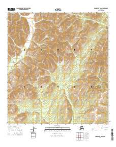
2015 Map of Unalakleet B-2 SW
USGS Topo · Published 2015About this map
Nulato Hills and Blackburn Hills define the high-relief landscape of this remote Interior Alaska interior. The drainage of Thompson Cr cuts through the western sections, part of a vast network of watercourses that shaped the movement and subsistence patterns of the region. The map provides a precise view of the Public Land Survey System divisions, including t24s r7w and t26s r6w, documenting the administrative footprint across this unpopulated terrain during the early 21st century. This survey is a record of the physical geography before significant environmental or geological shifts, serving as a baseline for understanding the land’s structure in the Yukon-Koyukuk region.
Find a feature on this map
9 named features on this map. Tap any name to fly to it.
Don’t see what you’re looking for? This feature index may not catch every label — zoom into the map to look around manually.
Map Details
Editions of this 2015 Unalakleet B-2 SW Map
This is the sole edition of this map. No revisions or reprints were ever made.
Other maps of this area

1951 · Unalakleet
USGS Topo · 1:250,000

1952 · Unalakleet A-2
USGS Topo · 1:63,360

1952 · Unalakleet A-3
USGS Topo · 1:63,360

1952 · Unalakleet B-3
USGS Topo · 1:63,360

1952 · Unalakleet B-2
USGS Topo · 1:63,360

1952 · Unalakleet
USGS Topo · 1:250,000

1964 · Unalakleet
USGS Topo · 1:250,000
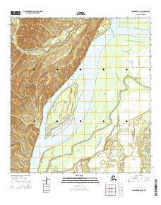
2015 · Unalakleet B-2 SE
USGS Topo · 1:25,000
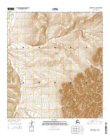
2015 · Unalakleet B-3 NE
USGS Topo · 1:25,000
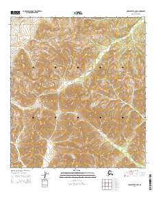
2015 · Unalakleet B-2 NW
USGS Topo · 1:25,000