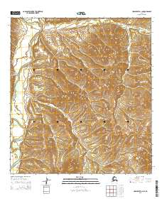
2015 Map of Unalakleet A-4 NE
USGS Topo · Published 2015About this map
Anvik River flows through this remote Alaskan interior landscape, defining the topography of a region dominated by steep ridges and natural drainage basins. The intricate contour lines illustrate a series of high divides between the Anvik watershed and the headwaters of Otter Creek to the north and Canyon Creek to the northeast. This 2015 data reflects the enduring wilderness of the Yukon-Koyukuk region, where the Public Land Survey System grids, including t26s r11w and t27s r10w, are superimposed over a landscape devoid of permanent road infrastructure or settlements. The map is a vital resource for understanding the hydrography of these tributary systems before they reach larger river corridors further downstream.
Find a feature on this map
7 named features on this map. Tap any name to fly to it.
Don’t see what you’re looking for? This feature index may not catch every label — zoom into the map to look around manually.
Map Details
Editions of this 2015 Unalakleet A-4 NE Map
This is the sole edition of this map. No revisions or reprints were ever made.
Other maps of this area

1951 · Unalakleet
USGS Topo · 1:250,000

1952 · Unalakleet A-4
USGS Topo · 1:63,360

1952 · Unalakleet A-3
USGS Topo · 1:63,360

1952 · Unalakleet B-4
USGS Topo · 1:63,360

1952 · Unalakleet B-3
USGS Topo · 1:63,360

1952 · Unalakleet
USGS Topo · 1:250,000

1964 · Unalakleet
USGS Topo · 1:250,000
2015 · Unalakleet A-3 NW
USGS Topo · 1:25,000
2015 · Unalakleet B-4 SE
USGS Topo · 1:25,000
2015 · Unalakleet A-3 SW
USGS Topo · 1:25,000