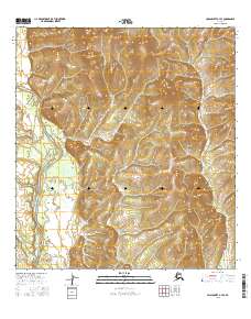
2016 Map of Unalakleet A-4 SE
USGS Topo · Published 2016About this map
The Nulato Hills dominate this portion of the Alaskan interior, forming a complex landscape of high ridgelines and drainages west of the Yukon River. This remote wilderness is defined by the winding course of the Anvik River, which is joined by the Swift River in a network of secluded valleys. Farther south, the smaller tributary of Rankin Cr carves through the terrain, illustrating the intricate hydrography that shapes this roadless region. The map captures the area in its natural state, showing no permanent settlements or infrastructure, but rather a topography managed through various townships such as t27s r11w and t28s r10w. It serves as a detailed record of the western Alaskan wilderness before modern development altered its pristine drainage patterns.
Find a feature on this map
10 named features on this map. Tap any name to fly to it.
Don’t see what you’re looking for? This feature index may not catch every label — zoom into the map to look around manually.
Map Details
Editions of this 2016 Unalakleet A-4 SE Map
This is the sole edition of this map. No revisions or reprints were ever made.
Other maps of this area

1951 · Unalakleet
USGS Topo · 1:250,000

1951 · Holy Cross
USGS Topo · 1:250,000

1952 · Unalakleet A-4
USGS Topo · 1:63,360

1952 · Unalakleet A-3
USGS Topo · 1:63,360

1952 · Holy Cross D-4
USGS Topo · 1:63,360

1952 · Holy Cross D-3
USGS Topo · 1:63,360

1952 · Unalakleet
USGS Topo · 1:250,000

1952 · Holy Cross
USGS Topo · 1:250,000

1964 · Unalakleet
USGS Topo · 1:250,000
2015 · Unalakleet A-3 NW
USGS Topo · 1:25,000