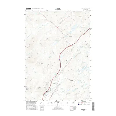
2016 Map of Underwood
USGS Topo · Published 2016About this map
Adirondack Park lands dominate this Essex County landscape, where the high peaks and dense hydrography of the high country meet the upper reaches of the Schroon River. The small settlement of Underwood sits at a critical junction where the Boquet River headwaters descend from the northern slopes. The map details a transition from the rugged summits of Split Rock Mtn and Catamount Mtn to the marshy lowlands surrounding Stump Pond and Shingletree Pond.
Find a feature on this map
76 named features on this map. Tap any name to fly to it.
Don’t see what you’re looking for? This feature index may not catch every label — zoom into the map to look around manually.
Map Details
Editions of this 2016 Underwood Map
This is the sole edition of this map. No revisions or reprints were ever made.
Other maps of this area

1894 · Elizabethtown
USGS Topo · 1:62,500

1895 · Elizabethtown
USGS Topo · 1:62,500

1895 · Mt. Marcy
USGS Topo · 1:62,500

1895 · Paradox Lake
USGS Topo · 1:62,500

1897 · Paradox Lake
USGS Topo · 1:62,500

1897 · Schroon Lake
USGS Topo · 1:62,500

1901 · Elizabethtown
USGS Topo · 1:62,500

1902 · Mt. Marcy
USGS Topo · 1:62,500

1950 · Glens Falls
USGS Topo · 1:250,000

1950 · Lake Champlain
USGS Topo · 1:250,000