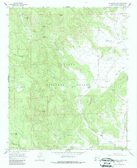
1965 Map of Underwood Lake
USGS Topo · Published 1986About this map
Apache National Forest lands dominate this mid-century survey of Catron County, revealing a landscape defined by isolated water sources and high-elevation landforms. The Spur Lake Basin occupies the northeast, anchored by the ephemeral Spur Lake and various livestock infrastructure like the Spur Lake Well, Tipton Well, and Heddrick Tank. These features, along with the Spur Lake Cem, suggest the long-standing ranching history of the area, further evidenced by the Gribble Place and Bastion Ranch to the south.
Find a feature on this map
51 named features on this map. Tap any name to fly to it.
Don’t see what you’re looking for? This feature index may not catch every label — zoom into the map to look around manually.
Map Details
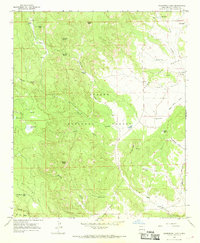
Editions of this 1965 Underwood Lake Map
2 editions found
Other maps of this area

1886 · St Johns
USGS Topo · 1:250,000

1892 · St Johns
USGS Topo · 1:250,000

1915 · Reserve
USGS Topo · 1:125,000

1918 · Reserve
USGS Topo · 1:125,000

1922 · Nutrioso
USGS Topo · 1:125,000

1954 · Clifton
USGS Topo · 1:250,000

1954 · Saint Johns
USGS Topo · 1:250,000

1957 · Clifton
USGS Topo · 1:250,000

1957 · Saint Johns
USGS Topo · 1:250,000

1958 · Clifton
USGS Topo · 1:250,000