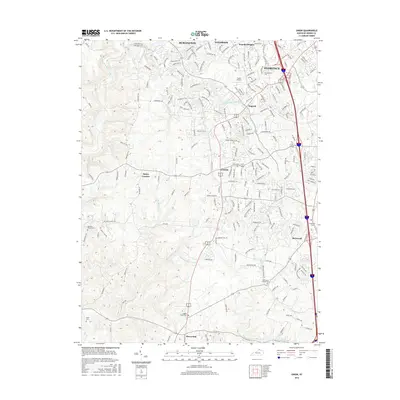
2016 Map of Union
USGS Topo · Published 2016About this map
Florence and Union anchor this topographic survey of Boone County, documenting the suburban transition of Northern Kentucky. The landscape is defined by the winding course of Gunpowder Creek and its many tributaries, including South Fork Gunpowder Creek and Fowler Creek, which carve through the undulating terrain. A dense network of residential streets in Burlington and Oakbrook contrasts with the more rural character of southern settlements like Beaverlick and Hueys Corners.
Find a feature on this map
207 named features on this map. Tap any name to fly to it.
Don’t see what you’re looking for? This feature index may not catch every label — zoom into the map to look around manually.
Map Details
Editions of this 2016 Union Map
This is the sole edition of this map. No revisions or reprints were ever made.
Other maps of this area

1914 · West Cincinnati
USGS Topo · 1:62,500

1915 · Lawrenceburg
USGS Topo · 1:48,000

1928 · Lawrenceburg
USGS Topo · 1:62,500

1932 · Lawrenceburg
USGS Topo · 1:62,500

1943 · Rising Sun
USGS Topo · 1:24,000

1943 · Lawrenceburg
USGS Topo · 1:24,000

1943 · Patriot
USGS Topo · 1:24,000

1950 · Union
USGS Topo · 1:24,000

1950 · Independence
USGS Topo · 1:24,000

1950 · Verona
USGS Topo · 1:24,000