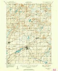
1950 Map of Union City
USGS Topo · Published 1950About this map
Union City serves as a central hub in this post-war landscape, situated at the confluence of the St Joseph River and the Coldwater River. The area is defined by its agrarian roots and water-driven geography, featuring the Union City Dam and the expansive Union Lake. The transportation network of the mid-20th century is clearly visible, with the Michigan Central Railroad threading through the countryside, connecting small rural centers like Burlington and Athens.
Find a feature on this map
108 named features on this map. Tap any name to fly to it.
Don’t see what you’re looking for? This feature index may not catch every label — zoom into the map to look around manually.
Map Details
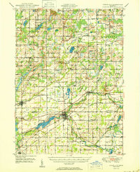
Editions of this 1950 Union City Map
2 editions found
Other maps of this area
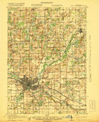
1918 · Battle Creek
USGS Topo · 1:62,500
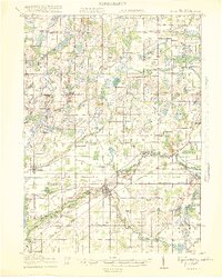
1918 · Union City
USGS Topo · 1:62,500
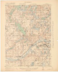
1918 · Galesburg
USGS Topo · 1:62,500
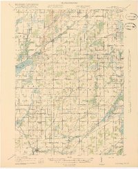
1918 · Leonidas
USGS Topo · 1:62,500
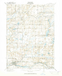
1921 · Marshall
USGS Topo · 1:62,500
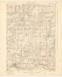
1923 · Marshall
USGS Topo · 1:62,500
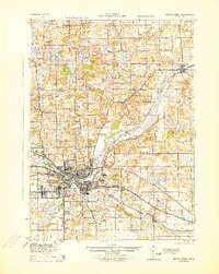
1943 · Battle Creek
USGS Topo · 1:62,500
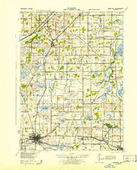
1943 · Marshall
USGS Topo · 1:62,500
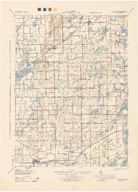
1944 · Leonidas
USGS Topo · 1:62,500
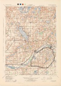
1944 · Galesburg
USGS Topo · 1:62,500