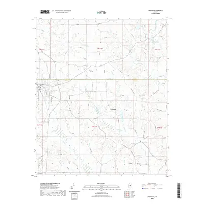
2020 Map of Union East
USGS Topo · Published 2020About this map
Union sits at the western edge of this landscape, where the municipal grid meets the headwaters of several key central Mississippi drainage systems. The survey area spans the border of Neshoba Co and Newton Co, a rural landscape defined by a network of creek branches and small agricultural settlements like Greenland, Rock Creek, and Little Rock. For those researching family history, the map identifies several local burial grounds including Cross Roads Cem, Pine Grove Cem, and Greenland Cem. The terrain is deeply carved by waterways such as Chunky Cr, Fulton Cr, and Nelson Cr, which historically influenced the placement of original county roads and farmsteads. This survey captures the modern road network, from Old State Hwy 494 to the numerous section-line routes that continue to serve this timber and farming region.
Find a feature on this map
108 named features on this map. Tap any name to fly to it.
Don’t see what you’re looking for? This feature index may not catch every label — zoom into the map to look around manually.
Map Details
Editions of this 2020 Union East Map
This is the sole edition of this map. No revisions or reprints were ever made.
Other maps of this area

1953 · Meridian
USGS Topo · 1:250,000

1957 · Meridian
USGS Topo · 1:250,000

1957 · Chunky
USGS Topo · 1:62,500

1962 · House
USGS Topo · 1:24,000

1962 · Post
USGS Topo · 1:24,000

1965 · Meridian
USGS Topo · 1:250,000

1966 · Decatur NW
USGS Topo · 1:24,000

1966 · Decatur
USGS Topo · 1:24,000

1972 · Deemer
USGS Topo · 1:24,000

1972 · Union East
USGS Topo · 1:24,000