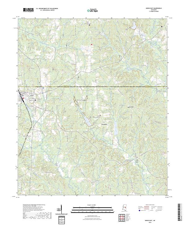
2024 Map of Union East
USGS Topo · Published 2024About this map
Union sits at the western edge of this survey, where the border between Neshoba Co and Newton Co marks the landscape's primary administrative divide. The area is defined by a dense network of tributaries, including the southern-flowing Chunky Creek and Little Rock Creek, which carve through the terrain alongside smaller features like Huckleberry Creek and Smith Branch. This hydrologic pattern influenced the placement of early rural settlements and community centers such as Greenland and Rock Creek.
Find a feature on this map
106 named features on this map. Tap any name to fly to it.
Don’t see what you’re looking for? This feature index may not catch every label — zoom into the map to look around manually.
Map Details
Editions of this 2024 Union East Map
This is the sole edition of this map. No revisions or reprints were ever made.
Other maps of this area

1953 · Meridian
USGS Topo · 1:250,000

1957 · Meridian
USGS Topo · 1:250,000

1957 · Chunky
USGS Topo · 1:62,500

1962 · House
USGS Topo · 1:24,000

1962 · Post
USGS Topo · 1:24,000

1965 · Meridian
USGS Topo · 1:250,000

1966 · Decatur NW
USGS Topo · 1:24,000

1966 · Decatur
USGS Topo · 1:24,000

1972 · Deemer
USGS Topo · 1:24,000

1972 · Union East
USGS Topo · 1:24,000