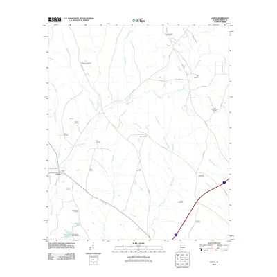
2011 Map of Union
USGS Topo · Published 2011About this map
Union and Clinton anchor this Greene County landscape, revealing a rural settlement pattern defined by family landmarks and small-scale agriculture at the start of the 21st century. The map is notably dense with family-named burial grounds, including the Union Cemetery, Pleasant Hill Cemetery, and Johnson Hill Cemetery, which serve as vital markers for local genealogy. The Clinton Post Office and the Springfield Lookout Tower stand as key infrastructure points amidst a web of drainage systems like Trussells Creek and Pippen Creek.
Find a feature on this map
45 named features on this map. Tap any name to fly to it.
Don’t see what you’re looking for? This feature index may not catch every label — zoom into the map to look around manually.
Map Details
Editions of this 2011 Union Map
This is the sole edition of this map. No revisions or reprints were ever made.
Other maps of this area

1927 · Eutaw
USGS Topo · 1:48,000

1931 · Eutaw
USGS Topo · 1:62,500

1953 · Montgomery
USGS Topo · 1:250,000

1953 · Birmingham
USGS Topo · 1:250,000

1953 · Meridian
USGS Topo · 1:250,000

1953 · West Point
USGS Topo · 1:250,000

1956 · Birmingham
USGS Topo · 1:250,000

1956 · Montgomery
USGS Topo · 1:250,000

1957 · Birmingham
USGS Topo · 1:250,000

1957 · Meridian
USGS Topo · 1:250,000