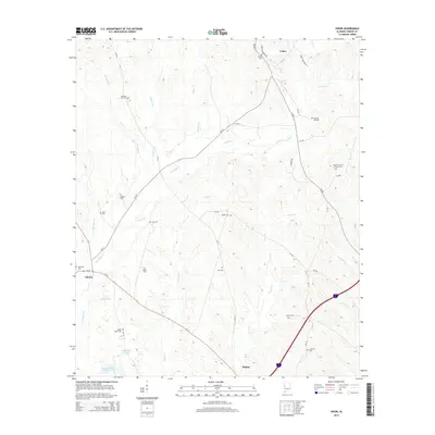
2014 Map of Union
USGS Topo · Published 2014About this map
Greene County’s rural landscape is defined here by the convergence of the West Alabama black belt and the winding tributaries of the Sipsey River system. Historically significant family burial grounds and community landmarks are frequent, including Union Christian Church Cem and the Pleasant Hill Cem near the headwaters of Murphy Br. This 2014 survey documents the enduring spatial layout of small settlements like Union and Clinton, where the road network follows the undulating terrain between creek drainages. The south-central portion of the map near Eutaw reveals significant water features such as McLean Lake Number 1 and McMillan Pond, while the northern reaches are dominated by the extensive basin of Trussells Cr. The distribution of cemeteries like Roden Cem and Hick Cem across the wooded hillsides provides a roadmap for genealogists tracing ancestral homesteads in this corner of the state.
Find a feature on this map
48 named features on this map. Tap any name to fly to it.
Don’t see what you’re looking for? This feature index may not catch every label — zoom into the map to look around manually.
Map Details
Editions of this 2014 Union Map
This is the sole edition of this map. No revisions or reprints were ever made.
Other maps of this area

1927 · Eutaw
USGS Topo · 1:48,000

1931 · Eutaw
USGS Topo · 1:62,500

1953 · Montgomery
USGS Topo · 1:250,000

1953 · Birmingham
USGS Topo · 1:250,000

1953 · Meridian
USGS Topo · 1:250,000

1953 · West Point
USGS Topo · 1:250,000

1956 · Birmingham
USGS Topo · 1:250,000

1956 · Montgomery
USGS Topo · 1:250,000

1957 · Birmingham
USGS Topo · 1:250,000

1957 · Meridian
USGS Topo · 1:250,000