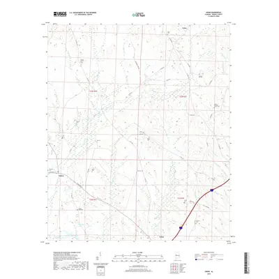
2018 Map of Union
USGS Topo · Published 2018About this map
Trussells Cr and its many tributaries, including Spencer Br and Pippen Cr, define the drainage of this Greene County landscape. This modern survey reveals a region deeply rooted in its local heritage, evidenced by the numerous family-named burial grounds scattered across the townships. Settlements like Union and Clinton are linked by a network of rural routes such as AL Highway 14 and M L King Hwy. The map documents numerous smaller landmarks essential for genealogical research, such as Pleasant Hill Cem and Hogley Wood Cem. Water features are prominent throughout the area, from the larger McLean Lake Number 1 and McMillan Pond to the localized Big Spring, illustrating how the hydrology has influenced the positioning of these historic rural communities.
Find a feature on this map
54 named features on this map. Tap any name to fly to it.
Don’t see what you’re looking for? This feature index may not catch every label — zoom into the map to look around manually.
Map Details
Editions of this 2018 Union Map
This is the sole edition of this map. No revisions or reprints were ever made.
Other maps of this area

1927 · Eutaw
USGS Topo · 1:48,000

1931 · Eutaw
USGS Topo · 1:62,500

1953 · Montgomery
USGS Topo · 1:250,000

1953 · Birmingham
USGS Topo · 1:250,000

1953 · Meridian
USGS Topo · 1:250,000

1953 · West Point
USGS Topo · 1:250,000

1956 · Birmingham
USGS Topo · 1:250,000

1956 · Montgomery
USGS Topo · 1:250,000

1957 · Birmingham
USGS Topo · 1:250,000

1957 · Meridian
USGS Topo · 1:250,000