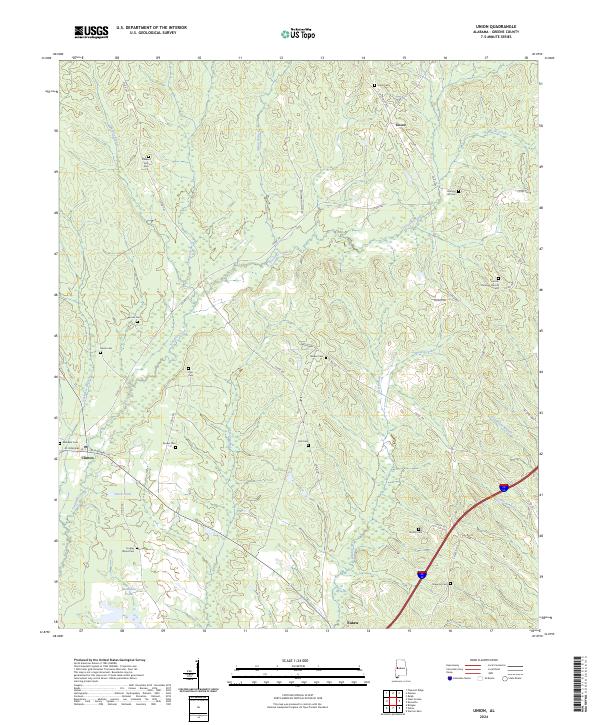
2024 Map of Union
USGS Topo · Published 2024About this map
Union Christian Church and numerous family burying grounds are scattered throughout this Greene County landscape, reflecting generations of rural settlement. The terrain is defined by the branching tributaries of Trussells Creek, including Indian Branch and Spencer Branch, which create a complex network of ridges and drainages. While larger centers like Union and Clinton anchor the area, the map reveals a history written in small, localized landmarks. Genealogists will find significant value in the distribution of cemeteries such as Hogley Wood Cem, Pyle Cem, and Roden Cem, often found at the ends of winding county roads like Co RD 181. The southern edge of the quadrangle touches the outskirts of Eutaw, where the landscape begins to transition toward the Interstate corridor and Jordan Branch, though the interior remains a quiet expanse of creeks and timberland.
Find a feature on this map
53 named features on this map. Tap any name to fly to it.
Don’t see what you’re looking for? This feature index may not catch every label — zoom into the map to look around manually.
Map Details
Editions of this 2024 Union Map
This is the sole edition of this map. No revisions or reprints were ever made.
Other maps of this area

1927 · Eutaw
USGS Topo · 1:48,000

1931 · Eutaw
USGS Topo · 1:62,500

1953 · Montgomery
USGS Topo · 1:250,000

1953 · Birmingham
USGS Topo · 1:250,000

1953 · Meridian
USGS Topo · 1:250,000

1953 · West Point
USGS Topo · 1:250,000

1956 · Birmingham
USGS Topo · 1:250,000

1956 · Montgomery
USGS Topo · 1:250,000

1957 · Birmingham
USGS Topo · 1:250,000

1957 · Meridian
USGS Topo · 1:250,000