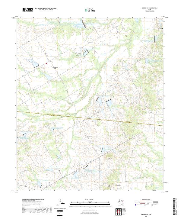
2022 Map of Union High
USGS Topo · Published 2022About this map
The rolling country along the Navarro and Limestone county line is defined by a dense network of water management sites and small rural landmarks. This landscape is dominated by numerous flood control structures, such as Soil Conservation Service Site 26a Reservoir and Soil Conservation Service Site 18 Reservoir, which sit among the headwaters of Pin Oak Cr and Board Cr. These reservoirs suggest a modern era of intensive land and soil management designed to control runoff into the Brazos and Trinity basins.
Find a feature on this map
68 named features on this map. Tap any name to fly to it.
Don’t see what you’re looking for? This feature index may not catch every label — zoom into the map to look around manually.
Map Details
Editions of this 2022 Union High Map
This is the sole edition of this map. No revisions or reprints were ever made.
Other maps of this area

1920 · Mexia
USGS Topo · 1:62,500

1954 · Waco
USGS Topo · 1:250,000

1955 · Waco
USGS Topo · 1:250,000

1956 · Dawson
USGS Topo · 1:24,000

1957 · Groesbeck
USGS Topo · 1:62,500

1960 · Echols
USGS Topo · 1:24,000

1960 · Tehuacana
USGS Topo · 1:24,000

1963 · Richland
USGS Topo · 1:24,000

1963 · Wortham
USGS Topo · 1:24,000

1963 · Mexia
USGS Topo · 1:24,000