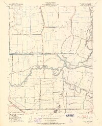
1952 Map of Union Island
USGS Topo · Published 1953About this map
Water management and industrial agriculture define this 1952 landscape in the San Joaquin Delta, where a complex network of sloughs and canals intersects with the northern reaches of Tracy. The southern edge of the map is anchored by the Southern Pacific railroad and the local Sugar Refinery, illustrating the region's mid-century economic reliance on rail transport and crop processing. The geography is dominated by reclaimed island land, notably Roberts Island and the large El Pescadero (Pico and Naglee) grant, separated by historic waterways like the Old River and Middle River. Rural education is well-represented through the locations of the David Bixler Sch, Naglee School, and North School, providing vital touchpoints for genealogists researching family history in the farming communities near Bethany. The irrigation infrastructure, including the Fabian and Bell Canal and numerous pump houses, reveals the engineering required to maintain the fertile delta basin.
Find a feature on this map
37 named features on this map. Tap any name to fly to it.
Don’t see what you’re looking for? This feature index may not catch every label — zoom into the map to look around manually.
Map Details
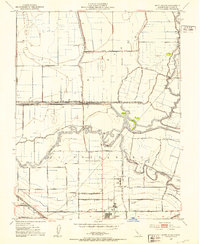
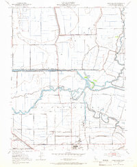
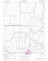
Editions of this 1952 Union Island Map
4 editions found
Other maps of this area

1907 · Tesla
USGS Topo · 1:62,500

1913 · Woodward Island
USGS Topo · 1:31,680

1913 · Stockton
USGS Topo · 1:31,680

1913 · Holt
USGS Topo · 1:31,680

1914 · Bethany
USGS Topo · 1:31,680

1914 · Union Island
USGS Topo · 1:31,680

1915 · Vernalis
USGS Topo · 1:31,680

1915 · Lathrop
USGS Topo · 1:31,680

1916 · Byron
USGS Topo · 1:62,500

1916 · Tracy
USGS Topo · 1:31,680