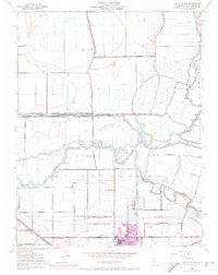
1952 Map of Union Island
USGS Topo · Published 1969About this map
The low-lying delta lands of San Joaquin County are defined here by an intricate web of irrigation and drainage, where Union Island and the Stewart Tract are bound by the meandering courses of the Old River and Paradise Cut. This mid-century survey illustrates the industrial and agricultural infrastructure essential to the region, most notably the Sugar Refinery located just north of the growing city of Tracy. The landscape is etched with historical boundaries like the Grant Line and a network of water management features including the Fabian and Bell Canal and Sugar Cut.
Find a feature on this map
34 named features on this map. Tap any name to fly to it.
Don’t see what you’re looking for? This feature index may not catch every label — zoom into the map to look around manually.
Map Details
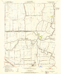
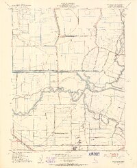
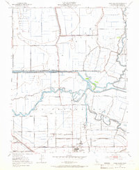
Editions of this 1952 Union Island Map
4 editions found
Other maps of this area

1907 · Tesla
USGS Topo · 1:62,500

1913 · Woodward Island
USGS Topo · 1:31,680

1913 · Stockton
USGS Topo · 1:31,680

1913 · Holt
USGS Topo · 1:31,680

1914 · Bethany
USGS Topo · 1:31,680

1914 · Union Island
USGS Topo · 1:31,680

1915 · Vernalis
USGS Topo · 1:31,680

1915 · Lathrop
USGS Topo · 1:31,680

1916 · Byron
USGS Topo · 1:62,500

1916 · Tracy
USGS Topo · 1:31,680