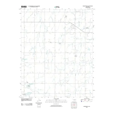
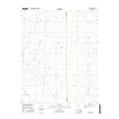
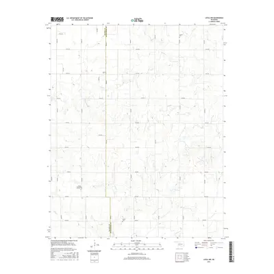
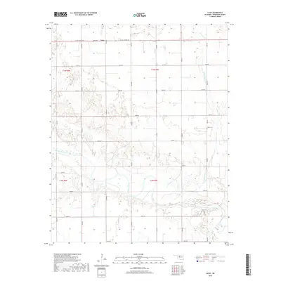
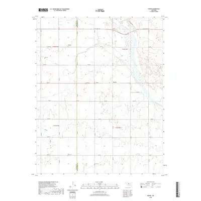
1982 Map of Union
USGS Topo · Published 1982About this map
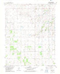
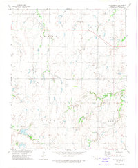
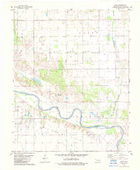
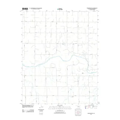
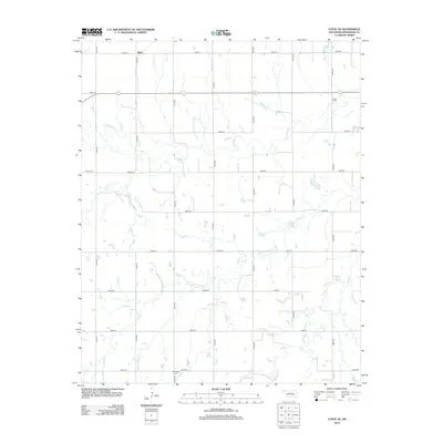
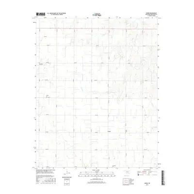
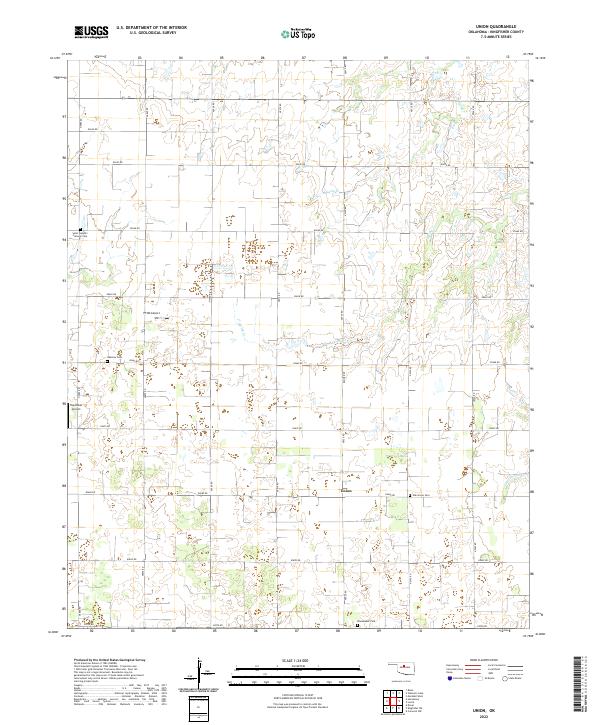
Kingfisher County's agricultural and industrial landscape is documented in this 1982 survey, where the township of Union serves as a central point of interest. The area is defined by a dense network of sectional roads and extensive Oil Field activity that overlays the prairie terrain. Evidence of local community life is found at the Community Hall and multiple rural spiritual centers, including Oak Grove Ch and Nazarene Ch.
Find a feature on this map
19 named features on this map. Tap any name to fly to it.
Don’t see what you’re looking for? This feature index may not catch every label — zoom into the map to look around manually.
Map Details
Editions of this 1982 Union Map
This is the sole edition of this map. No revisions or reprints were ever made.
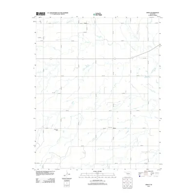
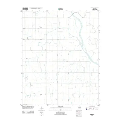
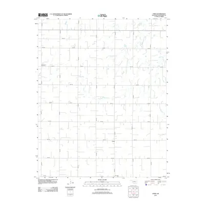
Historical Maps of Union Through Time
55 maps found
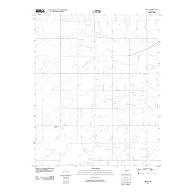
1893 Omega
Kingfisher County, OK
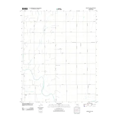
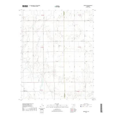
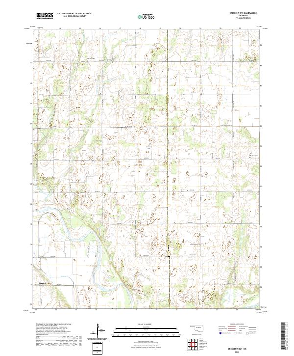
1969 Crescent NW
Kingfisher County, OK
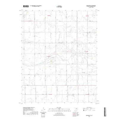
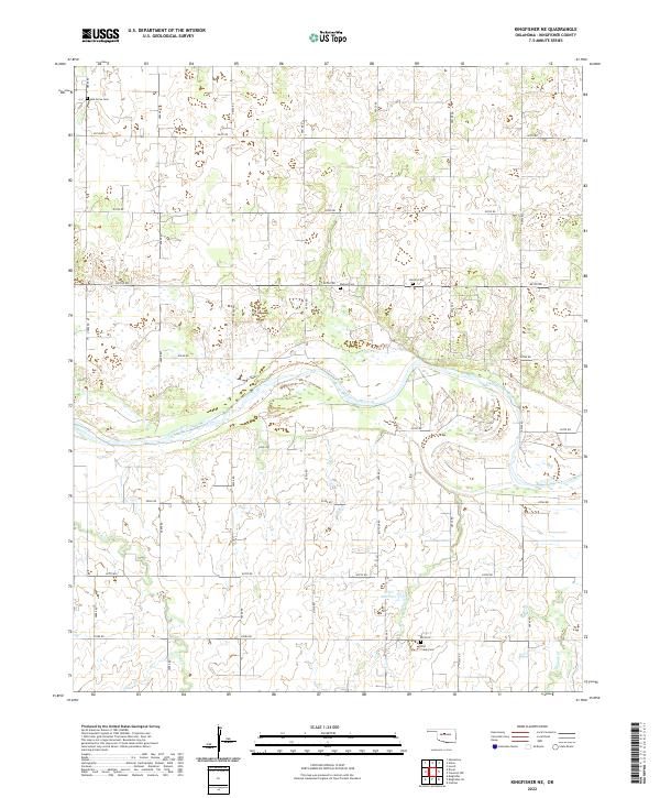
1972 Kingfisher NE
Kingfisher County, OK
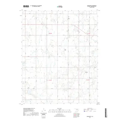
1972 Kingfisher SE
Kingfisher County, OK
1972 Loyal NW
Kingfisher County, OK
1972 Loyal SE
Kingfisher County, OK
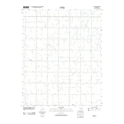
1972 Omega
Kingfisher County, OK
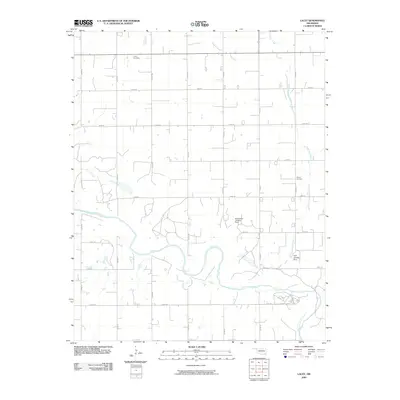
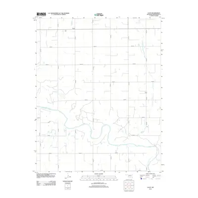
1982 Lacey
Kingfisher County, OK
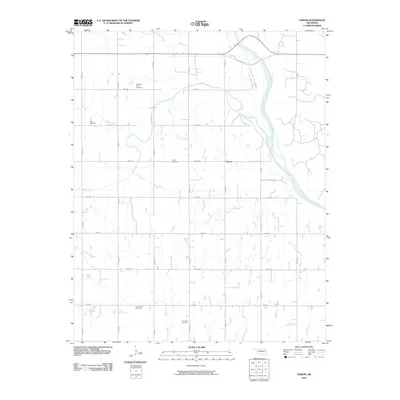
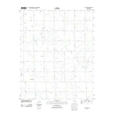
1982 Parvin
Kingfisher County, OK
1982 Union
Kingfisher County, OK
2009 Crescent NW
Kingfisher County, OK
2009 Kingfisher NE
Kingfisher County, OK
2009 Kingfisher SE
Kingfisher County, OK
2009 Lacey
Kingfisher County, OK
2009 Loyal NW
Kingfisher County, OK
2009 Loyal SE
Kingfisher County, OK
2009 Omega
Kingfisher County, OK
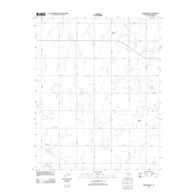
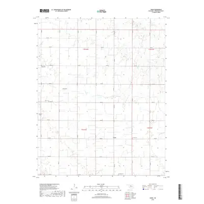
2009 Union
Kingfisher County, OK
2010 Parvin
Kingfisher County, OK
2012 Crescent NW
Kingfisher County, OK
2012 Kingfisher NE
Kingfisher County, OK
2012 Kingfisher SE
Kingfisher County, OK
2012 Lacey
Kingfisher County, OK
2012 Loyal NW
Kingfisher County, OK
2012 Loyal SE
Kingfisher County, OK
2012 Omega
Kingfisher County, OK
2012 Parvin
Kingfisher County, OK
2012 Union
Kingfisher County, OK
2016 Crescent NW
Kingfisher County, OK
2016 Kingfisher NE
Kingfisher County, OK
2016 Kingfisher SE
Kingfisher County, OK
2016 Lacey
Kingfisher County, OK
2016 Loyal NW
Kingfisher County, OK
2016 Loyal SE
Kingfisher County, OK
2016 Omega
Kingfisher County, OK
2016 Parvin
Kingfisher County, OK
2016 Union
Kingfisher County, OK
2018 Crescent NW
Kingfisher County, OK
2018 Kingfisher NE
Kingfisher County, OK
2018 Kingfisher SE
Kingfisher County, OK
2018 Lacey
Kingfisher County, OK
2018 Loyal NW
Kingfisher County, OK
2018 Loyal SE
Kingfisher County, OK
2018 Omega
Kingfisher County, OK
2018 Parvin
Kingfisher County, OK
2018 Union
Kingfisher County, OK
2022 Crescent NW
Kingfisher County, OK
2022 Kingfisher NE
Kingfisher County, OK
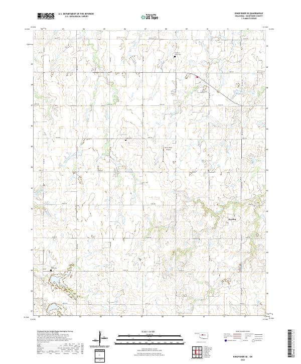
2022 Kingfisher SE
Kingfisher County, OK
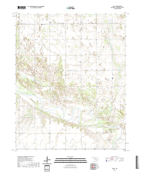
2022 Lacey
Kingfisher County, OK
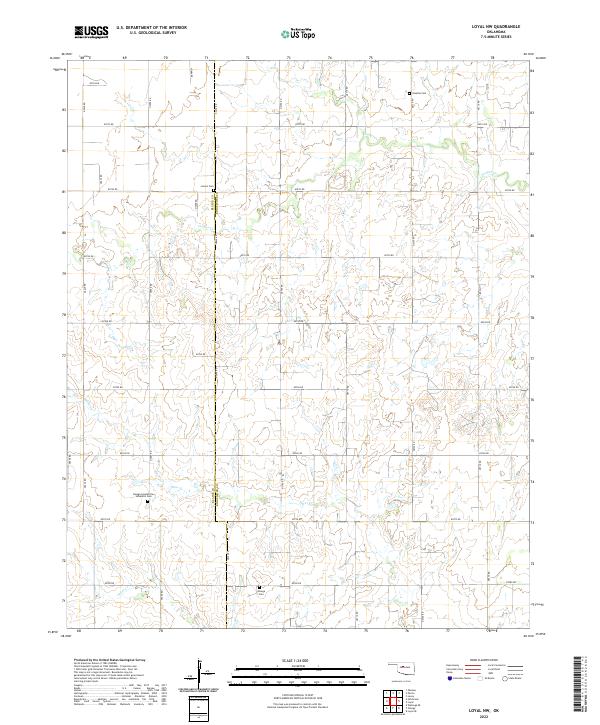
2022 Loyal NW
Kingfisher County, OK
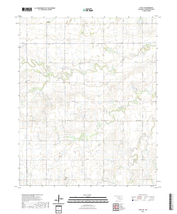
2022 Loyal SE
Kingfisher County, OK
2022 Omega
Kingfisher County, OK
2022 Parvin
Kingfisher County, OK
2022 Union
Kingfisher County, OK