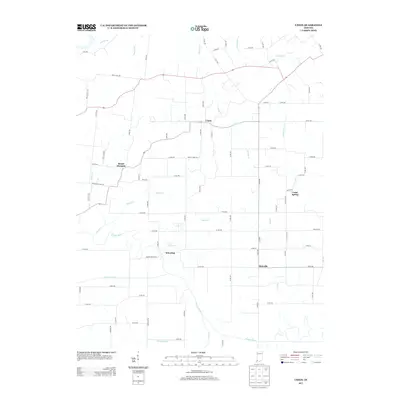
2013 Map of Union
USGS Topo · Published 2013About this map
The Patoka River winds through the southern half of this landscape, defining a region where water management has historically shaped local agriculture and settlement. Early twenty-first-century survey data reveals a network of small, established communities including Union, Wheeling, Mount Olympus, Oatsville, and Coats Spring. The drainage patterns are clearly marked by natural features like Indian Cr and Yellow Cr, alongside man-made improvements such as Houchins Ditch and the Morrow Lateral. A dense grid of county roads, such as Mount Tabor Rd and Cart Rd, connects family farms and rural homesites. This layout reflects the long-standing agricultural character of Pike County, where the relationship between the low-lying river bottomlands and the surrounding creek drainage systems remains central to the geography.
Find a feature on this map
66 named features on this map. Tap any name to fly to it.
Don’t see what you’re looking for? This feature index may not catch every label — zoom into the map to look around manually.
Map Details
Editions of this 2013 Union Map
This is the sole edition of this map. No revisions or reprints were ever made.
Other maps of this area

1901 · Princeton
USGS Topo · 1:62,500

1902 · Ditney
USGS Topo · 1:125,000

1903 · Petersburg
USGS Topo · 1:62,500

1903 · Princeton
USGS Topo · 1:62,500

1903 · Patoka
USGS Topo · 1:125,000

1915 · Vincennes
USGS Topo · 1:62,500

1944 · Monroe City
USGS Topo · 1:24,000

1944 · Iona
USGS Topo · 1:24,000

1944 · Vincennes
USGS Topo · 1:62,500

1956 · Vincennes
USGS Topo · 1:250,000