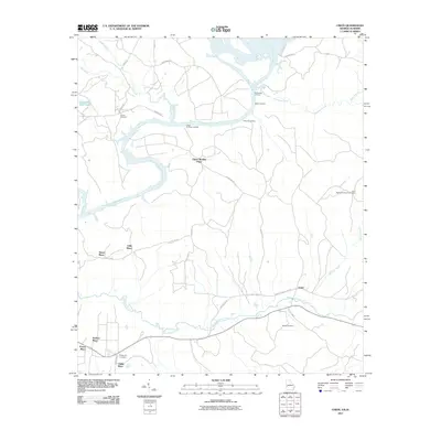
2011 Map of Union
USGS Topo · Published 2011About this map
Upper Bradley Place and several other family-named homesteads like Gillis Place and Heard Place define the rural character of Stewart County along the river corridor. The Chattahoochee River serves as the primary geographical anchor, with historical points of access such as McMurrons Landing, Banks Landing, and Lawsons Landing marking its eastern bank. These landings suggest a legacy of river-based transit and commerce that once connected these inland agricultural plots to the broader waterway network.
Find a feature on this map
39 named features on this map. Tap any name to fly to it.
Don’t see what you’re looking for? This feature index may not catch every label — zoom into the map to look around manually.
Map Details
Editions of this 2011 Union Map
This is the sole edition of this map. No revisions or reprints were ever made.
Other maps of this area

1908 · Columbus
USGS Topo · 1:62,500

1914 · Seale
USGS Topo · 1:62,500

1929 · Columbus
USGS Topo · 1:48,000

1947 · Columbus
USGS Topo · 1:62,500

1949 · Fort Mitchell
USGS Topo · 1:24,000

1949 · Julia
USGS Topo · 1:24,000

1949 · Cusseta
USGS Topo · 1:24,000

1950 · Fort Benning
USGS Topo · 1:24,000

1950 · Louvale
USGS Topo · 1:24,000

1950 · Lumpkin
USGS Topo · 1:24,000