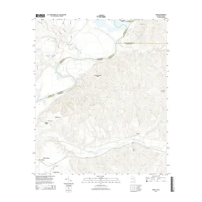
2014 Map of Union
USGS Topo · Published 2014About this map
The Chattahoochee River forms the winding state line between Russell County, Alabama, and Stewart County, Georgia, in this 2014 survey. This area is characterized by a high concentration of established family lands and estates, noted by labels such as Upper Bradley Place, Gillis Place, and Heard Place. These designations suggest a landscape where historic property lines and family legacies remain the primary landmarks across the rolling terrain.
Find a feature on this map
39 named features on this map. Tap any name to fly to it.
Don’t see what you’re looking for? This feature index may not catch every label — zoom into the map to look around manually.
Map Details
Editions of this 2014 Union Map
This is the sole edition of this map. No revisions or reprints were ever made.
Other maps of this area

1908 · Columbus
USGS Topo · 1:62,500

1914 · Seale
USGS Topo · 1:62,500

1929 · Columbus
USGS Topo · 1:48,000

1947 · Columbus
USGS Topo · 1:62,500

1949 · Fort Mitchell
USGS Topo · 1:24,000

1949 · Julia
USGS Topo · 1:24,000

1949 · Cusseta
USGS Topo · 1:24,000

1950 · Fort Benning
USGS Topo · 1:24,000

1950 · Louvale
USGS Topo · 1:24,000

1950 · Lumpkin
USGS Topo · 1:24,000