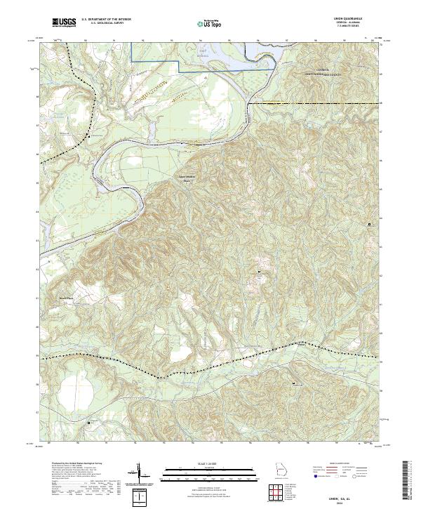
2024 Map of Union
USGS Topo · Published 2024About this map
The Chattahoochee River carves a winding path along the Georgia-Alabama border, defining the western edge of this territory where the northern reach of Stewart County meets the southern boundary of Fort Benning. This landscape is characterized by the convergence of multiple significant waterways, including Hannahatchee Creek, Hichitee Creek, and Hollman Creek, which drain the heavily contoured terrain. Rural life is anchored by traditional landholdings such as Upper Bradley Place and Heard Place, alongside the namesake community of Union. For those tracing local heritage, the map identifies several geographically dispersed burial sites including Mathis Cem, Irena Cem, and Fitzgerald Cem, reflecting the early settlement patterns of this riverine district. The area remains largely rural, with established routes like Omaha Union Rd and Union Pleasant Grove connecting remote homesteads and the Pleasant Grove Baptist Church to the broader regional network.
Find a feature on this map
43 named features on this map. Tap any name to fly to it.
Don’t see what you’re looking for? This feature index may not catch every label — zoom into the map to look around manually.
Map Details
Editions of this 2024 Union Map
This is the sole edition of this map. No revisions or reprints were ever made.
Other maps of this area

1908 · Columbus
USGS Topo · 1:62,500

1914 · Seale
USGS Topo · 1:62,500

1929 · Columbus
USGS Topo · 1:48,000

1947 · Columbus
USGS Topo · 1:62,500

1949 · Fort Mitchell
USGS Topo · 1:24,000

1949 · Julia
USGS Topo · 1:24,000

1949 · Cusseta
USGS Topo · 1:24,000

1950 · Fort Benning
USGS Topo · 1:24,000

1950 · Louvale
USGS Topo · 1:24,000

1950 · Lumpkin
USGS Topo · 1:24,000