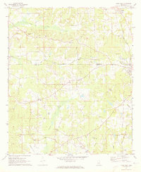
1972 Map of Union West
USGS Topo · Published 1973About this map
Sipsey Creek and Conehatta Creek drain this landscape along the border of Neshoba and Newton counties, where timber and agriculture shaped the rural settlement pattern in the early 1970s. The Gulf Mobile and Ohio railroad corridor serves as a primary axis, passing through the town of Union and providing a rail link to nearby Stratton. This survey captures a network of family-centered landmarks and rural institutions, including Evans Tabernacle and Hudsons Chapel, which served as anchors for the surrounding communities of Dover, Barfoot, and Neville.
Find a feature on this map
38 named features on this map. Tap any name to fly to it.
Don’t see what you’re looking for? This feature index may not catch every label — zoom into the map to look around manually.
Map Details
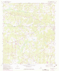
Editions of this 1972 Union West Map
2 editions found
Other maps of this area

1921 · Forest
USGS Topo · 1:48,000

1922 · Forest
USGS Topo · 1:62,500

1950 · Forest
USGS Topo · 1:62,500

1952 · Forest
USGS Topo · 1:62,500

1953 · Meridian
USGS Topo · 1:250,000

1957 · Meridian
USGS Topo · 1:250,000

1965 · Meridian
USGS Topo · 1:250,000

1966 · Decatur NW
USGS Topo · 1:24,000

1966 · Decatur
USGS Topo · 1:24,000

1972 · Deemer
USGS Topo · 1:24,000