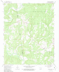
1969 Map of Uniontown
USGS Topo · Published 1982About this map
The Old Indian Treaty Boundary carves a diagonal line through this Crawford County landscape, marking a historical division just east of the Oklahoma state line. The rural community of Uniontown serves as a central hub, surrounded by a network of family and community landmarks such as Salem Cem and Macedonia Cem. The terrain is defined by the winding course of Lee Creek in the northwest and the dense woodlands of the Ozark National Forest which dominates the northern half of the map. To the south, the settlement of Dripping Springs is anchored by the Dripping Springs Ch and Dripping Spring Ch, showing a concentrated pocket of local history. This 1969 survey provides an excellent view of the area's transition from forest to upland farms, where small schools and churches like New Home Ch once formed the backbone of the township.
Find a feature on this map
24 named features on this map. Tap any name to fly to it.
Don’t see what you’re looking for? This feature index may not catch every label — zoom into the map to look around manually.
Map Details
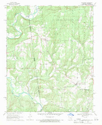
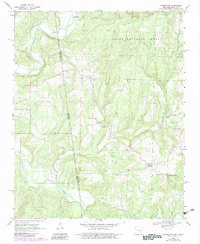
Editions of this 1969 Uniontown Map
3 editions found
Other maps of this area

1879 · Fort Smith
USGS Topo · 1:62,500

1887 · Van Buren
USGS Topo · 1:62,500

1890 · Fort Smith
USGS Topo · 1:125,000

1898 · Winslow #3
USGS Topo · 1:62,500

1898 · Tahlequah
USGS Topo · 1:125,000

1898 · Winslow
USGS Topo · 1:125,000

1900 · Sallisaw
USGS Topo · 1:125,000

1901 · Winslow
USGS Topo · 1:125,000

1901 · Tahlequah
USGS Topo · 1:125,000

1905 · Tahlequah
USGS Topo · 1:125,000