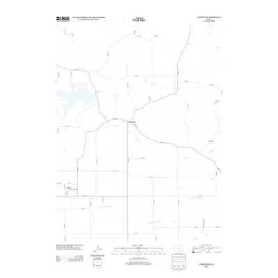
2013 Map of Unionville
USGS Topo · Published 2013About this map
Unionville and Udell serve as the primary residential hubs in this portion of Appanoose County during the early 21st century. The landscape is defined by an intricate network of waterways, with Lake Sundown positioned as a significant local landmark in the northwest. The drainage patterns of the region are clearly visible, showing the divide between the north-flowing Soap Cr and S Soap Cr and the south-flowing branches of the Fox River system, including N Fox Cr and the Center Br Fox River. The local infrastructure follows a rigid grid of county roads and avenues, such as Co HWY-j3t and Co HWY-t61, which provide access to the rural properties and smaller stream valleys like Pee Dee Cr and Blizzard Cr. This survey illustrates the persistent agricultural and small-town character of southern Iowa, where transport is dictated by a mix of primary county highways and local gravel routes.
Find a feature on this map
58 named features on this map. Tap any name to fly to it.
Don’t see what you’re looking for? This feature index may not catch every label — zoom into the map to look around manually.
Map Details
Editions of this 2013 Unionville Map
This is the sole edition of this map. No revisions or reprints were ever made.
Other maps of this area
1939 · Centerville
USGS Topo · 1:62,500
1939 · Mystic
USGS Topo · 1:62,500
1941 · Centerville
USGS Topo · 1:62,500
1942 · Mystic
USGS Topo · 1:62,500

1954 · Centerville
USGS Topo · 1:250,000
1957 · Centerville
USGS Topo · 1:250,000
1958 · Centerville
USGS Topo · 1:250,000
1966 · Hiattsville
USGS Topo · 1:24,000
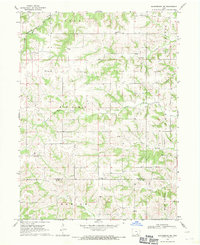
1968 · Blakesburg NE
USGS Topo · 1:24,000
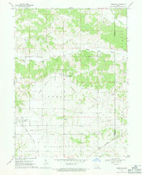
1968 · Unionville
USGS Topo · 1:24,000