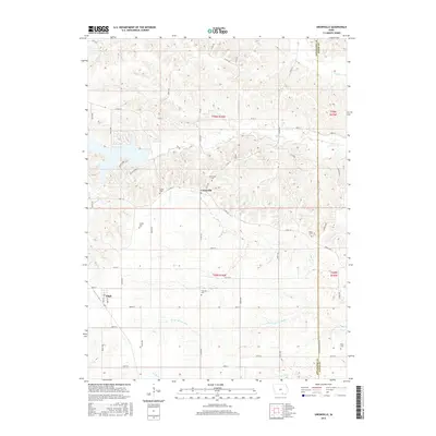
2015 Map of Unionville
USGS Topo · Published 2015About this map
Unionville and the nearby village of Udell anchor this pocket of southern Iowa, situated along the county line where Appanoose Co meets Davis County. The landscape is defined by the headwaters and intricate drainage of several regional waterways, including S Soap Cr, N Fox Cr, and the Center Br Fox River. The largest water feature is Lake Sundown, a notable reservoir surrounded by winding residential roads like Wild Turkey Ln and Big Buck Run.
Find a feature on this map
63 named features on this map. Tap any name to fly to it.
Don’t see what you’re looking for? This feature index may not catch every label — zoom into the map to look around manually.
Map Details
Editions of this 2015 Unionville Map
This is the sole edition of this map. No revisions or reprints were ever made.
Other maps of this area

1939 · Centerville
USGS Topo · 1:62,500

1939 · Mystic
USGS Topo · 1:62,500

1941 · Centerville
USGS Topo · 1:62,500

1942 · Mystic
USGS Topo · 1:62,500

1954 · Centerville
USGS Topo · 1:250,000

1957 · Centerville
USGS Topo · 1:250,000

1958 · Centerville
USGS Topo · 1:250,000

1966 · Hiattsville
USGS Topo · 1:24,000
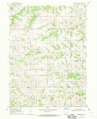
1968 · Blakesburg NE
USGS Topo · 1:24,000

1968 · Unionville
USGS Topo · 1:24,000