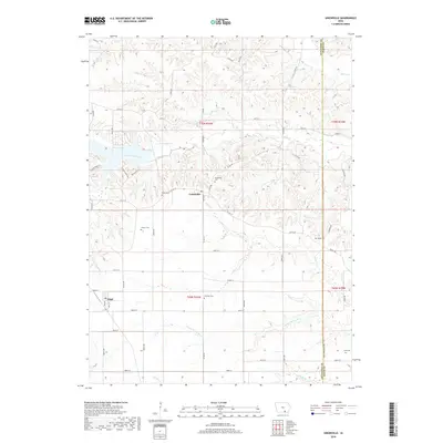
2018 Map of Unionville
USGS Topo · Published 2018About this map
The borderlands of Appanoose and Davis Counties are defined by a complex network of waterways, including South Soap Creek and the Fox River. At the center of this landscape lies the settlement of Unionville, serving as a focal point for the surrounding rural roads. To the west, the village of Udell sits near the western edge of the survey area. The terrain is notably marked by Lake Sundown, a significant water body situated north of the main settlement.
Find a feature on this map
63 named features on this map. Tap any name to fly to it.
Don’t see what you’re looking for? This feature index may not catch every label — zoom into the map to look around manually.
Map Details
Editions of this 2018 Unionville Map
This is the sole edition of this map. No revisions or reprints were ever made.
Other maps of this area

1939 · Centerville
USGS Topo · 1:62,500

1939 · Mystic
USGS Topo · 1:62,500

1941 · Centerville
USGS Topo · 1:62,500

1942 · Mystic
USGS Topo · 1:62,500

1954 · Centerville
USGS Topo · 1:250,000

1957 · Centerville
USGS Topo · 1:250,000

1958 · Centerville
USGS Topo · 1:250,000

1966 · Hiattsville
USGS Topo · 1:24,000
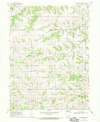
1968 · Blakesburg NE
USGS Topo · 1:24,000

1968 · Unionville
USGS Topo · 1:24,000