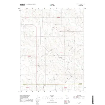
2017 Map of Unionville East
USGS Topo · Published 2017About this map
Unionville anchors the northwest corner of this Putnam County landscape, where the street grid of Garfield St and S 10th St gives way to a network of winding county roads. The area is defined by the branching drainages of N Blackbird Cr and S Blackbird Cr, which carve through the terrain and dictate the placement of rural settlements like Rosewood. This 2017 survey serves as a vital resource for genealogists, as it meticulously identifies numerous family burial grounds distributed across the township lines. Researchers can find well-preserved locations for the Burnett Cem, Haynes Cem, and Pherigo Cem, among others. The southern border of the map reveals the transition into Sullivan County, marked by the flow of Shuteye Cr and N Spring Cr through the southern sections.
Find a feature on this map
60 named features on this map. Tap any name to fly to it.
Don’t see what you’re looking for? This feature index may not catch every label — zoom into the map to look around manually.
Map Details
Editions of this 2017 Unionville East Map
This is the sole edition of this map. No revisions or reprints were ever made.
Other maps of this area

1912 · Green City
USGS Topo · 1:62,500

1914 · Green City
USGS Topo · 1:62,500

1939 · Centerville
USGS Topo · 1:62,500

1941 · Centerville
USGS Topo · 1:62,500

1942 · Seymour
USGS Topo · 1:62,500

1944 · Seymour
USGS Topo · 1:62,500

1954 · Centerville
USGS Topo · 1:250,000

1957 · Centerville
USGS Topo · 1:250,000

1958 · Centerville
USGS Topo · 1:250,000

1964 · Unionville West
USGS Topo · 1:24,000