
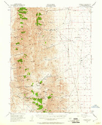
1954 Map of Unionville
USGS Topo · Published 1956About this map
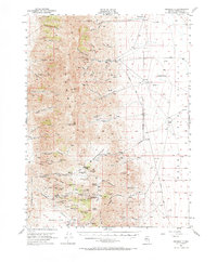
The Humboldt Range dominates this landscape, serving as a backdrop for the silver mining history of Pershing County. In the mid-1950s, the remnants of the once-bustling mining district are clearly visible, particularly around Unionville and the canyon-side ruins of Rochester. The map captures a complex industrial footprint of shafts and tunnels, including the Arizona Mine and the Bonanza King Mine, which were central to the region's prosperity in earlier decades.
Find a feature on this map
109 named features on this map. Tap any name to fly to it.
Don’t see what you’re looking for? This feature index may not catch every label — zoom into the map to look around manually.
Map Details
Editions of this 1954 Unionville Map
3 editions found
Other maps of this area

1931 · Lovelock
USGS Topo · 1:250,000

1932 · Sonoma Range
USGS Topo · 1:250,000

1935 · Lovelock
USGS Topo · 1:250,000

1939 · Sonoma Range
USGS Topo · 1:250,000

1954 · Buffalo Mtn
USGS Topo · 1:62,500

1955 · Lovelock
USGS Topo · 1:250,000

1955 · Winnemucca
USGS Topo · 1:250,000

1956 · Oreana
USGS Topo · 1:62,500

1956 · Imlay
USGS Topo · 1:62,500

1956 · Lovelock
USGS Topo · 1:62,500