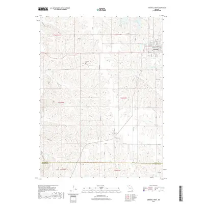
2017 Map of Unionville West
USGS Topo · Published 2017About this map
Unionville serves as the primary urban center for this northern Missouri landscape, situated near the headwaters of several drainages that flow south toward the Missouri River. The town’s layout, organized around streets like Main St and Washington St, borders Lake McKinley and the Unionville Reservoir. Further south, the small community of Lemons is positioned near the Lemonville Cem, reflecting the area's early rural settlement patterns. The terrain is defined by a dense network of creek branches, including Watkins Cr, Hackett Br, and S Blackbird Cr, which have carved the rolling topography. Genealogists will find several family-named burial sites across the countryside, such as Crumpacker Cem, Cullor Cem, and Dixon Cem. The southern edge of the map follows the border between Putnam Co and Sullivan Co, where the landscape remains largely agricultural and dominated by the watershed of E Locust Cr.
Find a feature on this map
51 named features on this map. Tap any name to fly to it.
Don’t see what you’re looking for? This feature index may not catch every label — zoom into the map to look around manually.
Map Details
Editions of this 2017 Unionville West Map
This is the sole edition of this map. No revisions or reprints were ever made.
Other maps of this area
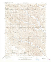
1912 · Green City
USGS Topo · 1:62,500
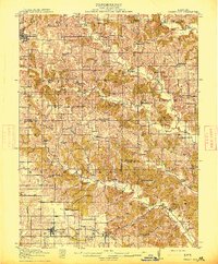
1914 · Green City
USGS Topo · 1:62,500
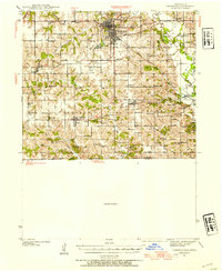
1939 · Centerville
USGS Topo · 1:62,500
1941 · Centerville
USGS Topo · 1:62,500
1942 · Seymour
USGS Topo · 1:62,500
1944 · Seymour
USGS Topo · 1:62,500

1954 · Centerville
USGS Topo · 1:250,000
1957 · Centerville
USGS Topo · 1:250,000
1958 · Centerville
USGS Topo · 1:250,000
1964 · Pollock NW
USGS Topo · 1:24,000