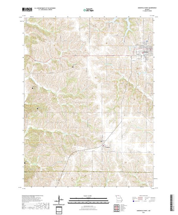
2021 Map of Unionville West
USGS Topo · Published 2021About this map
Unionville serves as the focal point of this northern Missouri landscape, anchored by the Putnam County Courthouse at the town center. The terrain is defined by a dense network of drainages including Watkins Cr, S Blackbird Cr, and Tanyard Br, which carve through the plateau between the larger waters of Lake Thunderhead and Lake McKinley. The map documents a rural environment where agricultural land is segmented by an extensive grid of secondary roads like State Hwy H and Highland Trl.
Find a feature on this map
68 named features on this map. Tap any name to fly to it.
Don’t see what you’re looking for? This feature index may not catch every label — zoom into the map to look around manually.
Map Details
Editions of this 2021 Unionville West Map
This is the sole edition of this map. No revisions or reprints were ever made.
Other maps of this area

1912 · Green City
USGS Topo · 1:62,500

1914 · Green City
USGS Topo · 1:62,500

1939 · Centerville
USGS Topo · 1:62,500

1941 · Centerville
USGS Topo · 1:62,500

1942 · Seymour
USGS Topo · 1:62,500

1944 · Seymour
USGS Topo · 1:62,500

1954 · Centerville
USGS Topo · 1:250,000

1957 · Centerville
USGS Topo · 1:250,000

1958 · Centerville
USGS Topo · 1:250,000

1964 · Pollock NW
USGS Topo · 1:24,000