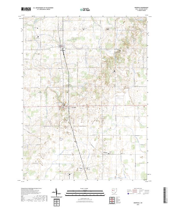
2023 Map of Uniopolis
USGS Topo · Published 2023About this map
Uniopolis and St. Johns anchor this rural landscape in eastern Auglaize County, where the terrain is defined by the headwaters of numerous small waterways. The Auglaize River flows through the northwest corner, joined by Huffman Creek and Blackhoof Creek. Local history is preserved in a dense network of family and community burial grounds, including the Wesley Chapel Cem, Conner - Kaiser Cem, and Vaughan Cem. Cultural memory is specifically honored at the Chief Blackhoof Memorial Park, situated near the intersection of Center St and Spring St. The map also captures the small crossroads of Slater and Gutman, illustrating a settlement pattern rooted in small-scale agriculture and early township road grids like Blank Pike and Town Line-Lima Rd.
Find a feature on this map
74 named features on this map. Tap any name to fly to it.
Don’t see what you’re looking for? This feature index may not catch every label — zoom into the map to look around manually.
Map Details
Editions of this 2023 Uniopolis Map
This is the sole edition of this map. No revisions or reprints were ever made.
Other maps of this area

1906 · Lima
USGS Topo · 1:62,500

1913 · Alger
USGS Topo · 1:48,000

1913 · Bellefontaine
USGS Topo · 1:48,000

1913 · Sidney
USGS Topo · 1:62,500

1915 · Alger
USGS Topo · 1:62,500

1915 · Bellefontaine
USGS Topo · 1:62,500

1943 · Alger
USGS Topo · 1:62,500

1944 · Sidney
USGS Topo · 1:62,500

1944 · Bellefontaine
USGS Topo · 1:62,500

1950 · Marion
USGS Topo · 1:250,000