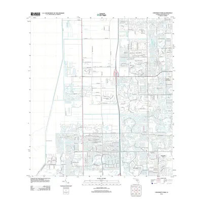
2012 Map of University Park
USGS Topo · Published 2012About this map
University Park and Boca West define the densely developed residential and recreational landscape of western Palm Beach County in the early 21st century. The map reveals a complex network of planned communities and extensive water management features, including the prominent L-40 Canal and Levee Number 40 that border the western edge of the suburban expansion. Cultural and community landmarks such as Antiquers Aerodrome and the Morikami Park Rd corridor provide local-history researchers with specific points of interest amidst the winding neighborhood streets.
Find a feature on this map
128 named features on this map. Tap any name to fly to it.
Don’t see what you’re looking for? This feature index may not catch every label — zoom into the map to look around manually.
Map Details
Editions of this 2012 University Park Map
This is the sole edition of this map. No revisions or reprints were ever made.
Other maps of this area

1945 · Greenacres City
USGS Topo · 1:24,000

1945 · Lake Worth
USGS Topo · 1:24,000

1946 · West Dixie Bend
USGS Topo · 1:24,000

1946 · Boca Raton
USGS Topo · 1:24,000

1947 · Delmar Farms
USGS Topo · 1:24,000

1949 · Lake Worth
USGS Topo · 1:24,000

1949 · West Dixie Bend
USGS Topo · 1:24,000

1949 · Delmar Farms
USGS Topo · 1:24,000

1950 · Boca Raton
USGS Topo · 1:24,000

1950 · Delray Beach
USGS Topo · 1:24,000
Featured Places
- Boca Raton, FL
- Delray Beach, FL
- Villages of Oriole, FL
- Brentwood of Boca Raton, FL
- Century Village Boca Raton, FL