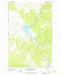
1962 Map of Upper Holter Lake
USGS Topo · Published 1975About this map
The Missouri River corridor north of Helena, Montana, is defined here by the meeting of canyon waters and rugged western terrain in the early 1960s. The landscape is marked by the distinct hydraulic systems of Upper Holter Lake and the northern reaches of Hauser Lake, separated by the industrial infrastructure of the Hauser Dam and its adjacent Powerplant. This era captures a rural ranching and early recreational landscape where family-named sites like Hilger Ranch and the Old Weiss and French Place coexist with public lands in the Helena National Forest.
Find a feature on this map
35 named features on this map. Tap any name to fly to it.
Don’t see what you’re looking for? This feature index may not catch every label — zoom into the map to look around manually.
Map Details
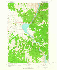
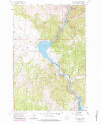
Editions of this 1962 Upper Holter Lake Map
3 editions found
Other maps of this area

1886 · Fort Logan
USGS Topo · 1:250,000

1889 · Helena
USGS Topo · 1:250,000

1893 · Helena
USGS Topo · 1:250,000

1899 · Helena
USGS Topo · 1:62,500

1899 · Helena
USGS Topo · 1:250,000

1903 · Helena
USGS Topo · 1:250,000

1947 · Butte
USGS Topo · 1:250,000

1948 · White Sulphur Springs
USGS Topo · 1:250,000

1950 · East Helena
USGS Topo · 1:62,500

1950 · Helena
USGS Topo · 1:62,500