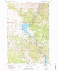
1962 Map of Upper Holter Lake
USGS Topo · Published 1985About this map
Upper Holter Lake and the Missouri River define the winding corridor of this Montana landscape, where the water cuts through the mountains of the Helena National Forest. The map documents a blend of early ranching and mid-century utility, marked by the Hilger Ranch and Hilger Well within the broad Hilger Valley. Cultural markers like the Hauser Sch and the Old Weiss and French Place offer glimpses into the rural occupancy of the canyon country, while the Powerplant at Hauser Dam signifies the 20th-century harness of the river. The terrain is deeply incised by family-named gulches and canyons, including Meriwether Canyon and Sacajawea Mountain, with various trails and pack trails providing the only access into the high timber and steep breaks above American Bar.
Find a feature on this map
34 named features on this map. Tap any name to fly to it.
Don’t see what you’re looking for? This feature index may not catch every label — zoom into the map to look around manually.
Map Details
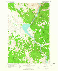
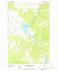
Editions of this 1962 Upper Holter Lake Map
3 editions found
Other maps of this area

1886 · Fort Logan
USGS Topo · 1:250,000

1889 · Helena
USGS Topo · 1:250,000

1893 · Helena
USGS Topo · 1:250,000

1899 · Helena
USGS Topo · 1:62,500

1899 · Helena
USGS Topo · 1:250,000

1903 · Helena
USGS Topo · 1:250,000

1947 · Butte
USGS Topo · 1:250,000

1948 · White Sulphur Springs
USGS Topo · 1:250,000

1950 · East Helena
USGS Topo · 1:62,500

1950 · Helena
USGS Topo · 1:62,500