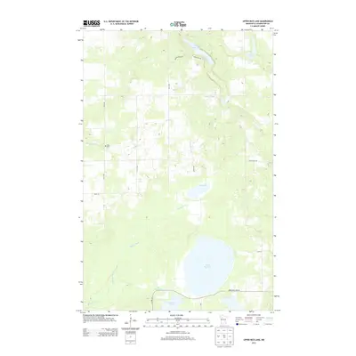
2013 Map of Upper Rice Lake
USGS Topo · Published 2013About this map
Wild Rice River meanders through this Clearwater County landscape, carving a path through a region defined by its numerous glacial lakes and wetlands. The waterway connects several major basins, including Upper Rice Lake and Mud Lake, illustrating the complex hydrology of northern Minnesota. In the northwestern corner, Nora Cem stands as a quiet marker of early settlement along Mosquito Cr, providing a localized point of interest for genealogists tracing family roots in the area. The map documents a sparsely populated region where life follows the natural contours of the land, with scattered roads like White Pine Dr and Walkerbrook Dr providing access to seasonal homes and recreational spots near Walker Brook Lake and Minerva Lake. This survey provides a modern snapshot of the area's enduring rural character and managed timberlands.
Find a feature on this map
18 named features on this map. Tap any name to fly to it.
Don’t see what you’re looking for? This feature index may not catch every label — zoom into the map to look around manually.
Map Details
Editions of this 2013 Upper Rice Lake Map
This is the sole edition of this map. No revisions or reprints were ever made.
Other maps of this area
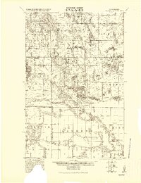
1919 · Solway
USGS Topo · 1:62,500
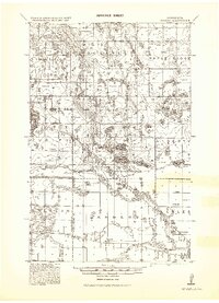
1943 · Solway
USGS Topo · 1:62,500
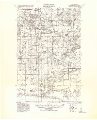
1943 · Bagley
USGS Topo · 1:62,500

1954 · Bemidji
USGS Topo · 1:250,000

1957 · Bemidji
USGS Topo · 1:250,000

1958 · Bemidji
USGS Topo · 1:250,000
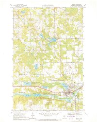
1969 · Bagley
USGS Topo · 1:24,000
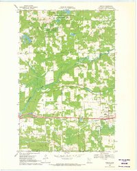
1969 · Shevlin
USGS Topo · 1:24,000
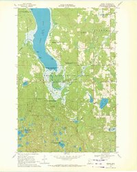
1969 · Zerkel
USGS Topo · 1:24,000
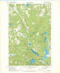
1969 · Heart Lake
USGS Topo · 1:24,000