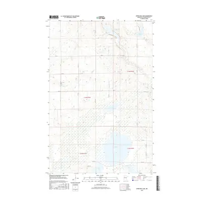
2016 Map of Upper Rice Lake
USGS Topo · Published 2016About this map
Upper Rice Lake and its surrounding wetlands define the landscape of this Clearwater County region, where the Wild Rice River snakes through a mosaic of marshland and small glacial basins. The terrain is characterized by a high density of water bodies, including Mud Lake, Daniel Lake, and Walker Brook Lake. This 2016 survey illustrates the persistent rural and hydrologic character of northern Minnesota, with sections defined by the Public Land Survey System such as t146n r37w. Evidence of early community settlement is preserved at the Nora Cem located near the intersection of 201st Ave and 300th St. A network of secondary roads and township routes, like Mud Lake Rd and White Pine Dr, provide access to the lakeshores and the remote forest tracks that crisscross the quadrangle.
Find a feature on this map
39 named features on this map. Tap any name to fly to it.
Don’t see what you’re looking for? This feature index may not catch every label — zoom into the map to look around manually.
Map Details
Editions of this 2016 Upper Rice Lake Map
This is the sole edition of this map. No revisions or reprints were ever made.
Other maps of this area
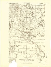
1919 · Solway
USGS Topo · 1:62,500
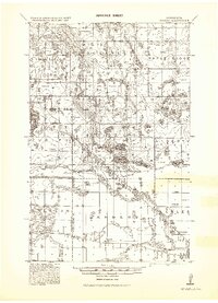
1943 · Solway
USGS Topo · 1:62,500
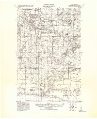
1943 · Bagley
USGS Topo · 1:62,500

1954 · Bemidji
USGS Topo · 1:250,000

1957 · Bemidji
USGS Topo · 1:250,000

1958 · Bemidji
USGS Topo · 1:250,000
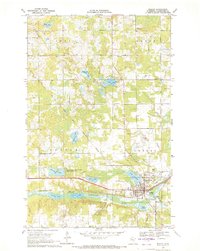
1969 · Bagley
USGS Topo · 1:24,000
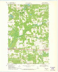
1969 · Shevlin
USGS Topo · 1:24,000
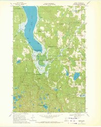
1969 · Zerkel
USGS Topo · 1:24,000
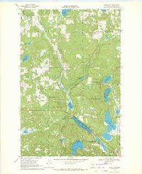
1969 · Heart Lake
USGS Topo · 1:24,000