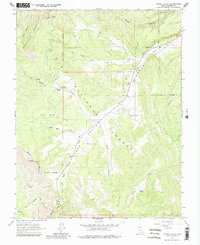
1964 Map of Upper Valley
USGS Topo · Published 1981About this map
The Escalante Mountains define the high country of this mid-century survey, where the Table Cliff Plateau drops away toward the deeply eroded landscape of The Blues. Much of the territory falls within the Dixie National Forest, a terrain of complex drainage systems and isolated springs like Yankee Mdw Spring and Garden Spring. The central corridor is occupied by Upper Valley Creek, which meanders through Upper Valley alongside a network of pack trails and jeep tracks that hint at the region's ranching and forestry history.
Find a feature on this map
34 named features on this map. Tap any name to fly to it.
Don’t see what you’re looking for? This feature index may not catch every label — zoom into the map to look around manually.
Map Details
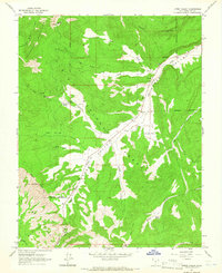
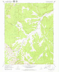
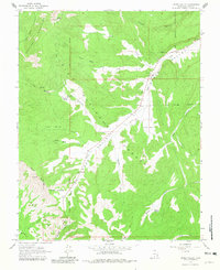
Editions of this 1964 Upper Valley Map
4 editions found
Other maps of this area

1886 · Escalante
USGS Topo · 1:250,000

1956 · Escalante
USGS Topo · 1:250,000

1960 · Escalante
USGS Topo · 1:250,000

1964 · Griffin Point
USGS Topo · 1:24,000

1964 · Canaan Creek
USGS Topo · 1:24,000

1964 · Canaan Peak
USGS Topo · 1:24,000

1964 · Death Ridge
USGS Topo · 1:24,000

1964 · Henrieville
USGS Topo · 1:24,000
1964 · Sweetwater Creek
USGS Topo · 1:24,000
1964 · Wide Hollow Reservoir
USGS Topo · 1:24,000