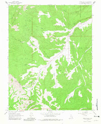
1964 Map of Upper Valley
USGS Topo · Published 1981About this map
Dixie National Forest defines this high-elevation landscape in Garfield County, where the topography transitions from the dramatic Table Cliff Plateau down through the Upper Valley. The survey captures a moment of resource management and early energy exploration, evidenced by the Upper Valley Guard Station and an isolated Oil Well near Pet Hollow. The drainage network is complex, with Henrieville Cr and Paria Creek carving through the colorful geologic formations of The Blues.
Find a feature on this map
33 named features on this map. Tap any name to fly to it.
Don’t see what you’re looking for? This feature index may not catch every label — zoom into the map to look around manually.
Map Details
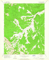
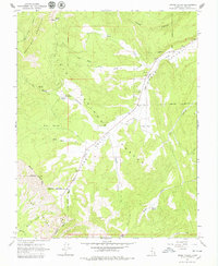
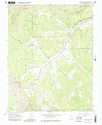
Editions of this 1964 Upper Valley Map
4 editions found
Other maps of this area

1886 · Escalante
USGS Topo · 1:250,000

1956 · Escalante
USGS Topo · 1:250,000

1960 · Escalante
USGS Topo · 1:250,000

1964 · Griffin Point
USGS Topo · 1:24,000

1964 · Canaan Creek
USGS Topo · 1:24,000

1964 · Canaan Peak
USGS Topo · 1:24,000

1964 · Death Ridge
USGS Topo · 1:24,000

1964 · Henrieville
USGS Topo · 1:24,000
1964 · Sweetwater Creek
USGS Topo · 1:24,000
1964 · Wide Hollow Reservoir
USGS Topo · 1:24,000