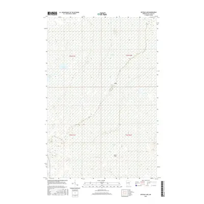
2016 Map of Upstead Lake
USGS Topo · Published 2016About this map
The settlement of Hull sits at the center of this Saint Louis County landscape, defined by an intricate network of wetlands and small water bodies. The topography is dominated by the extensive Toivola Swamp, which covers much of the northeastern quadrant, while Upstead Lake and Finberg Lake anchor the western portion of the map. To the south, Exnell Lake and the interestingly named Devils Islands stand out amidst the low-lying terrain. The presence of Sand Cr and various unnamed drainages highlights a complex hydrological system. Transport is primarily represented by State Highway 73, which provides the main north-south access through this heavily forested and water-rich environment in northern Minnesota.
Find a feature on this map
12 named features on this map. Tap any name to fly to it.
Don’t see what you’re looking for? This feature index may not catch every label — zoom into the map to look around manually.
Map Details
Editions of this 2016 Upstead Lake Map
This is the sole edition of this map. No revisions or reprints were ever made.
Other maps of this area
1952 · Riley
USGS Topo · 1:24,000
1952 · Silica
USGS Topo · 1:24,000
1952 · Little Swan
USGS Topo · 1:24,000
1954 · Hibbing
USGS Topo · 1:250,000
1957 · Hibbing
USGS Topo · 1:250,000
1958 · Hibbing
USGS Topo · 1:250,000
1963 · Elmer
USGS Topo · 1:24,000
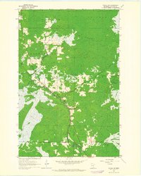
1963 · Toivola SW
USGS Topo · 1:24,000
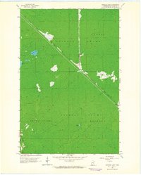
1963 · Upstead Lake
USGS Topo · 1:24,000
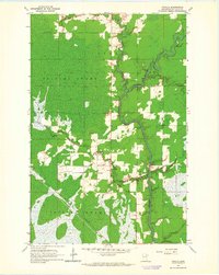
1963 · Toivola
USGS Topo · 1:24,000