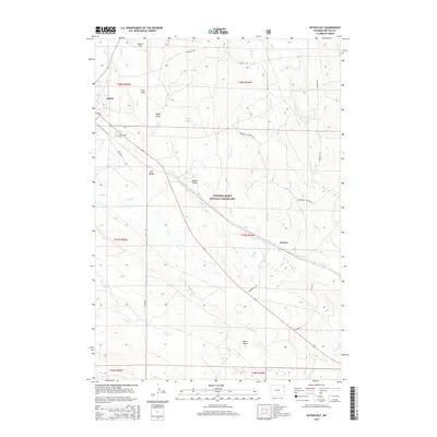
2015 Map of Upton East
USGS Topo · Published 2015About this map
Thunder Basin National Grassland dominates the landscape south of Upton, where the high plains of Weston County are marked by a complex network of seasonal drainages and draws. The eastern edge of Upton is anchored by Greenwood Cem, while further south, the settlement of Jerome sits near the crossing of Jerome Cr. This 2015 survey illustrates a terrain defined by subtle elevation shifts and wide horizons, from the prominence of Snider Hill and Pine Ridge to the broad expanse of Hopper Flat in the north.
Find a feature on this map
33 named features on this map. Tap any name to fly to it.
Don’t see what you’re looking for? This feature index may not catch every label — zoom into the map to look around manually.
Map Details
Editions of this 2015 Upton East Map
This is the sole edition of this map. No revisions or reprints were ever made.
Other maps of this area

1898 · Sundance
USGS Topo · 1:125,000

1899 · Newcastle
USGS Topo · 1:125,000

1901 · Newcastle
USGS Topo · 1:125,000

1902 · Sundance
USGS Topo · 1:125,000

1918 · Moorcroft
USGS Topo · 1:125,000

1954 · Gillette
USGS Topo · 1:250,000

1955 · Newcastle
USGS Topo · 1:250,000

1955 · Gillette
USGS Topo · 1:250,000

1957 · Upton
USGS Topo · 1:62,500

1958 · Gillette
USGS Topo · 1:250,000