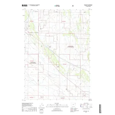
2017 Map of Upton East
USGS Topo · Published 2017About this map
The town of Upton occupies the northwestern corner of this landscape, serving as a gateway to the sprawling pastures of eastern Wyoming. The settlement pattern is defined by a grid of local thoroughfares including Pine St and Poplar St, with the Greenwood Cem located just south of the main residential area. The surrounding terrain is a complex network of ephemeral drainages and flatlands, most notably Hopper Flat and the varied draws that carve through the high plains, such as Cox Draw and Bates Draw.
Find a feature on this map
39 named features on this map. Tap any name to fly to it.
Don’t see what you’re looking for? This feature index may not catch every label — zoom into the map to look around manually.
Map Details
Editions of this 2017 Upton East Map
This is the sole edition of this map. No revisions or reprints were ever made.
Other maps of this area

1898 · Sundance
USGS Topo · 1:125,000

1899 · Newcastle
USGS Topo · 1:125,000

1901 · Newcastle
USGS Topo · 1:125,000

1902 · Sundance
USGS Topo · 1:125,000

1918 · Moorcroft
USGS Topo · 1:125,000

1954 · Gillette
USGS Topo · 1:250,000

1955 · Newcastle
USGS Topo · 1:250,000

1955 · Gillette
USGS Topo · 1:250,000

1957 · Upton
USGS Topo · 1:62,500

1958 · Gillette
USGS Topo · 1:250,000