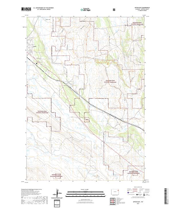
2021 Map of Upton East
USGS Topo · Published 2021About this map
Upton anchors the northwestern corner of this landscape, where the residential street grid of Poplar St and Pine St meets the open range. The eastern outskirts are marked by Greenwood Cem, which sits just above the prominent Pine Ridge formation. This terrain is defined by the sweeping expanses of the Thunder Basin National Grassland, a territory crisscrossed by many intermittent drainages including Pine Cr, Beaver Cr, and Soda Cr.
Find a feature on this map
39 named features on this map. Tap any name to fly to it.
Don’t see what you’re looking for? This feature index may not catch every label — zoom into the map to look around manually.
Map Details
Editions of this 2021 Upton East Map
This is the sole edition of this map. No revisions or reprints were ever made.
Other maps of this area

1898 · Sundance
USGS Topo · 1:125,000

1899 · Newcastle
USGS Topo · 1:125,000

1901 · Newcastle
USGS Topo · 1:125,000

1902 · Sundance
USGS Topo · 1:125,000

1918 · Moorcroft
USGS Topo · 1:125,000

1954 · Gillette
USGS Topo · 1:250,000

1955 · Newcastle
USGS Topo · 1:250,000

1955 · Gillette
USGS Topo · 1:250,000

1957 · Upton
USGS Topo · 1:62,500

1958 · Gillette
USGS Topo · 1:250,000