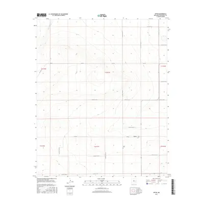
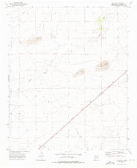
2017 Map of Upton
USGS Topo · Published 2017About this map
Upton serves as the focal point of this high-plains landscape in Roosevelt County, sitting at the junction of Upton Rd and the regional north-south thoroughfare. The terrain is defined by the subtle drainage of Cañada del Palo in the northwest, which cuts through the grid of section lines that characterize this part of New Mexico. The land is heavily partitioned by a network of rural routes, including Mesa Rd and numerous numbered Roosevelt Roads, reflecting a highly organized agricultural and ranching distribution system. Local history and genealogy are anchored by the Upton Cem, which appears twice on the map, suggesting the enduring presence of this small community across several sections. The map reveals how the modern township persists amidst a landscape of wide-open ranch land, with Price Ranch Rd hinting at the large-scale landholdings that have shaped the area's development.
Find a feature on this map
24 named features on this map. Tap any name to fly to it.
Don’t see what you’re looking for? This feature index may not catch every label — zoom into the map to look around manually.
Map Details
Editions of this 2017 Upton Map
This is the sole edition of this map. No revisions or reprints were ever made.
Other maps of this area

1954 · Clovis
USGS Topo · 1:250,000
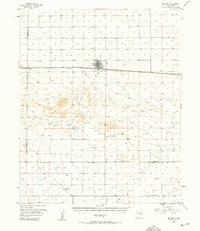
1957 · Melrose
USGS Topo · 1:62,500

1958 · Clovis
USGS Topo · 1:250,000
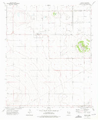
1973 · Floyd
USGS Topo · 1:24,000
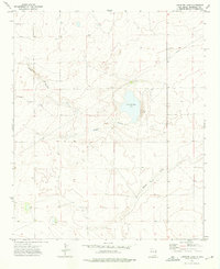
1973 · Lewiston Lake
USGS Topo · 1:24,000
1973 · Gammil Well SE
USGS Topo · 1:24,000
1973 · Tule Lake
USGS Topo · 1:24,000
1973 · Gammil Well NE
USGS Topo · 1:24,000
1973 · Upton
USGS Topo · 1:24,000
1973 · Floyd SE
USGS Topo · 1:24,000