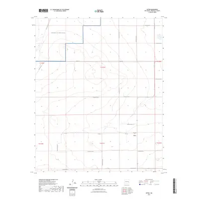
2023 Map of Upton
USGS Topo · Published 2023About this map
Upton sits at the center of this Roosevelt County landscape, defined by a sparse network of ranch roads and wide-open high plains. The community is anchored by the Upton Cem along Upton Rd, providing a specific point of reference for genealogists and local historians tracing families in this part of eastern New Mexico. To the northwest, the terrain transitions into the Melrose Air Force Range, where the ephemeral drainage of Cañada del Tule cuts through the northern sections. The map reveals a strictly organized section-line road system, including Mesa Rd and Price Ranch Rd, which illustrates the enduring land-use patterns of the Llano Estacado. This 2023 survey documents the modern state of these remote settlements and the military airspace that now characterizes the regional landscape.
Find a feature on this map
25 named features on this map. Tap any name to fly to it.
Don’t see what you’re looking for? This feature index may not catch every label — zoom into the map to look around manually.
Map Details
Editions of this 2023 Upton Map
This is the sole edition of this map. No revisions or reprints were ever made.
Other maps of this area

1954 · Clovis
USGS Topo · 1:250,000

1957 · Melrose
USGS Topo · 1:62,500

1958 · Clovis
USGS Topo · 1:250,000

1973 · Floyd
USGS Topo · 1:24,000

1973 · Lewiston Lake
USGS Topo · 1:24,000

1973 · Gammil Well SE
USGS Topo · 1:24,000

1973 · Tule Lake
USGS Topo · 1:24,000

1973 · Gammil Well NE
USGS Topo · 1:24,000

1973 · Upton
USGS Topo · 1:24,000

1973 · Floyd SE
USGS Topo · 1:24,000