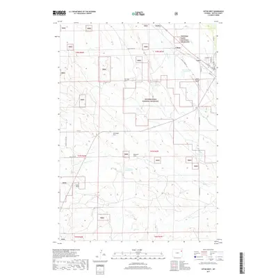
2017 Map of Upton West
USGS Topo · Published 2017About this map
Upton serves as the primary population center in this Western Wyoming landscape, where the town grid meets the wide-reaching acreage of the Thunder Basin National Grassland. The map illustrates a region defined by its water management and drainage patterns, featuring several significant catchments such as Materi Number 2 Reservoir, Little Soda Reservoir, and Brown Reservoir. These water sources are vital in a terrain carved by numerous draws, including Brainard Draw and Stellwagon Draw.
Find a feature on this map
40 named features on this map. Tap any name to fly to it.
Don’t see what you’re looking for? This feature index may not catch every label — zoom into the map to look around manually.
Map Details
Editions of this 2017 Upton West Map
This is the sole edition of this map. No revisions or reprints were ever made.
Other maps of this area

1918 · Moorcroft
USGS Topo · 1:125,000

1954 · Gillette
USGS Topo · 1:250,000

1955 · Newcastle
USGS Topo · 1:250,000

1955 · Gillette
USGS Topo · 1:250,000

1957 · Upton
USGS Topo · 1:62,500

1958 · Gillette
USGS Topo · 1:250,000

1958 · Newcastle
USGS Topo · 1:250,000

1962 · Gillette
USGS Topo · 1:250,000

1979 · Newcastle
USGS Topo · 1:100,000

1979 · Sundance
USGS Topo · 1:100,000