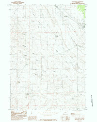
1984 Map of Upton West
USGS Topo · Published 1984About this map
Industrial extraction and prairie drainage define this landscape near the western edge of Upton during the late 1970s and early 1980s. The map reveals a high concentration of resource activity, particularly around Bentley and Colloid, where numerous Clay Pits and extensive Bentonite Pits are documented alongside several gravel operations. This industrial footprint is interspersed with a complex network of seasonal waterways and draws, such as Stellwagon Draw and Brainard Draw, which feed into larger systems like Beaver Creek.
Find a feature on this map
24 named features on this map. Tap any name to fly to it.
Don’t see what you’re looking for? This feature index may not catch every label — zoom into the map to look around manually.
Map Details
Editions of this 1984 Upton West Map
This is the sole edition of this map. No revisions or reprints were ever made.
Other maps of this area

1918 · Moorcroft
USGS Topo · 1:125,000

1954 · Gillette
USGS Topo · 1:250,000

1955 · Newcastle
USGS Topo · 1:250,000

1955 · Gillette
USGS Topo · 1:250,000

1957 · Upton
USGS Topo · 1:62,500

1958 · Gillette
USGS Topo · 1:250,000

1958 · Newcastle
USGS Topo · 1:250,000

1962 · Gillette
USGS Topo · 1:250,000

1979 · Newcastle
USGS Topo · 1:100,000

1979 · Sundance
USGS Topo · 1:100,000