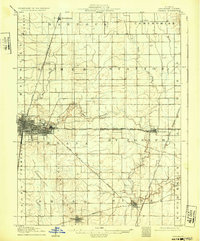
1906 Map of Urbana
USGS Topo · Published 1932About this map
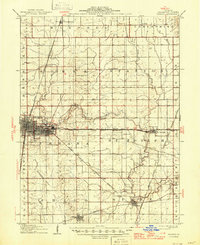
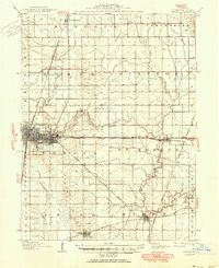
The twin cities of Champaign and Urbana serve as the bustling core of this east-central Illinois landscape during a period of significant rail-driven growth. The map illustrates a dense network of transportation, where the Illinois Central and the Chicago Division intersect with specialized lines like the C C C and St L RR, which includes the Champaign Urbana and Danville Electric interurban service. This infrastructure connects smaller outlying agricultural hubs such as Thomasboro to the north and Philo and Sidney to the south.
Find a feature on this map
41 named features on this map. Tap any name to fly to it.
Don’t see what you’re looking for? This feature index may not catch every label — zoom into the map to look around manually.
Map Details
Editions of this 1906 Urbana Map
7 editions found
Other maps of this area

1906 · Urbana
USGS Topo · 1:62,500

1907 · Mahomet
USGS Topo · 1:62,500

1924 · Paxton
USGS Topo · 1:62,500

1927 · Paxton
USGS Topo · 1:62,500

1928 · Gibson City
USGS Topo · 1:62,500

1931 · Fithian
USGS Topo · 1:48,000

1936 · Potomac
USGS Topo · 1:62,500

1943 · Fithian
USGS Topo · 1:62,500

1949 · Paxton
USGS Topo · 1:62,500

1950 · Tuscola
USGS Topo · 1:62,500